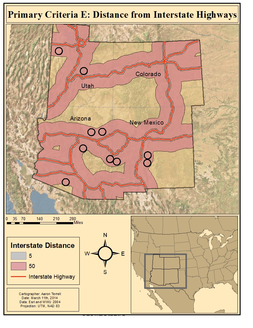
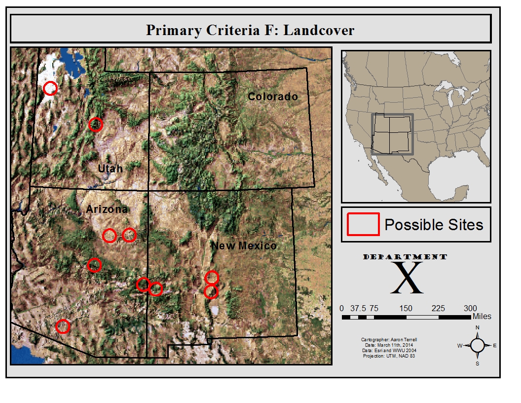
The following maps were created as a final project during my first quarter working with GIS. Our assignment was to locate the most suitable facility for a new, ‘top secret’ US military base. I was provided with the following location criteria:
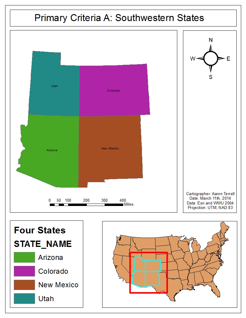
- Must be in the Soutwestern U.S (UT, AZ, CO, or NM)
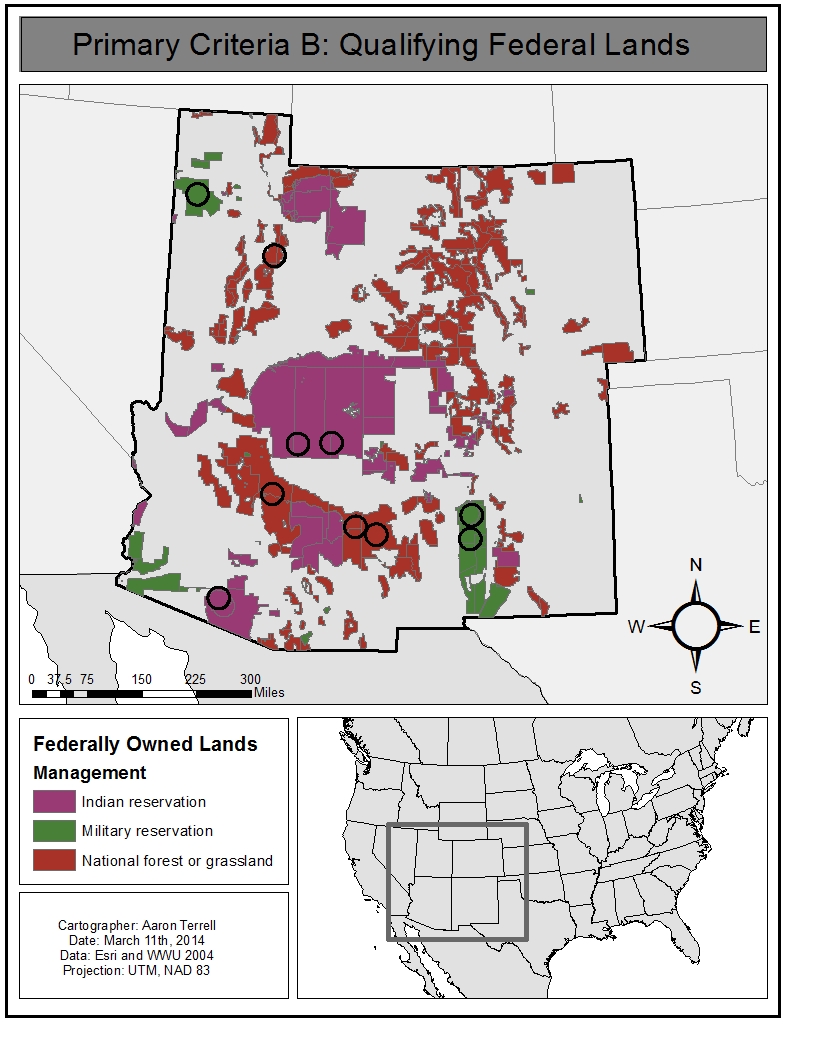
- Must be on federally owned lands
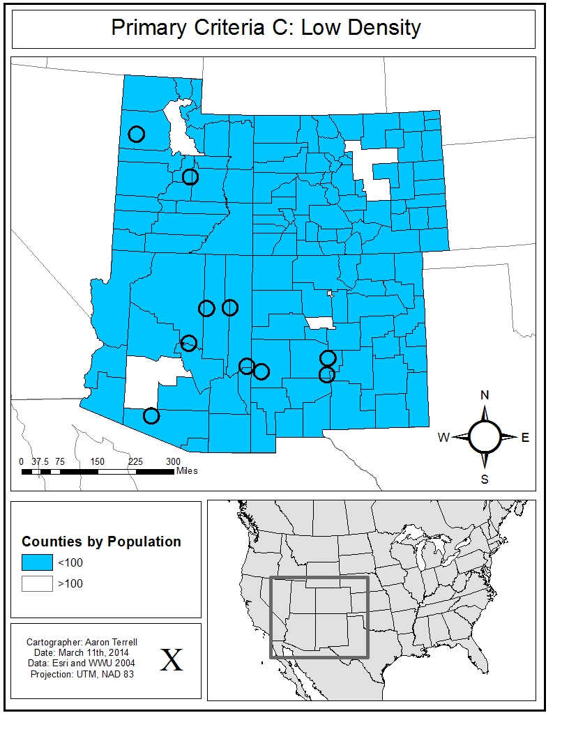
- Must be located in a county wither fewer than 100 people per sq. ml.
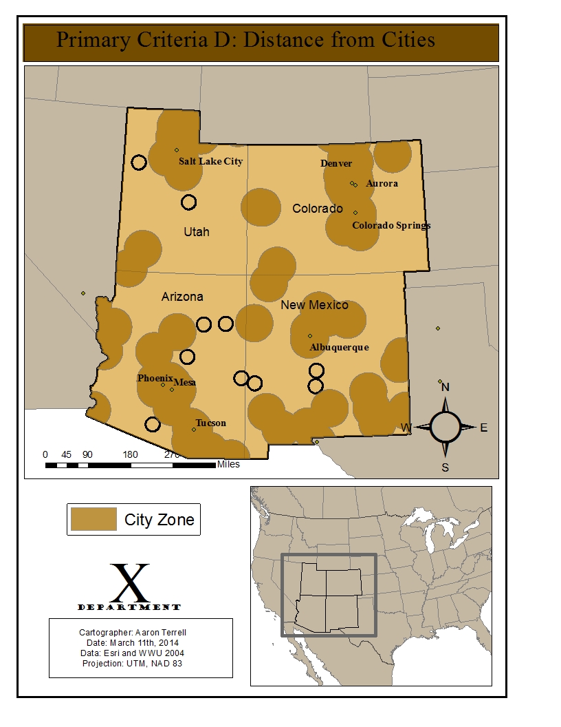
- Must be at least 40 miles from a city (preferred more than 50 miles)
- Must be more than 5 miles and less than 50 miles from an interstate freeway
- Location must be circular with a 15 mile radius
- Preference for non-native territory, areas with high elevation and dense vegetation.
- Preferable to be at least 100 miles from the Mexican border
Identifying these locations involved the use of multiple geoprocessing tools such as clip, intersect, and multi-ring buffer. Also involved statistical analysis, attribute selection, attribute field calculations, an introduction to model building, and the development of a custom ranking index.
